Undergraduate Computer Science student at The University of Manitoba
OpenStreetMap and SUMO
In the past 2 days I messed around with some different parameters in the config files of my manually configured simulation. I also successfully imported a section of Winnipeg from OpenStreetMap into SUMO. There are definitley some bugs to figure out as the traffic light data seems to be incomplete or missing entirely. Not sure if this is usually included with OpenStreetMap data or not. I will investigate further. A good start nonetheless.
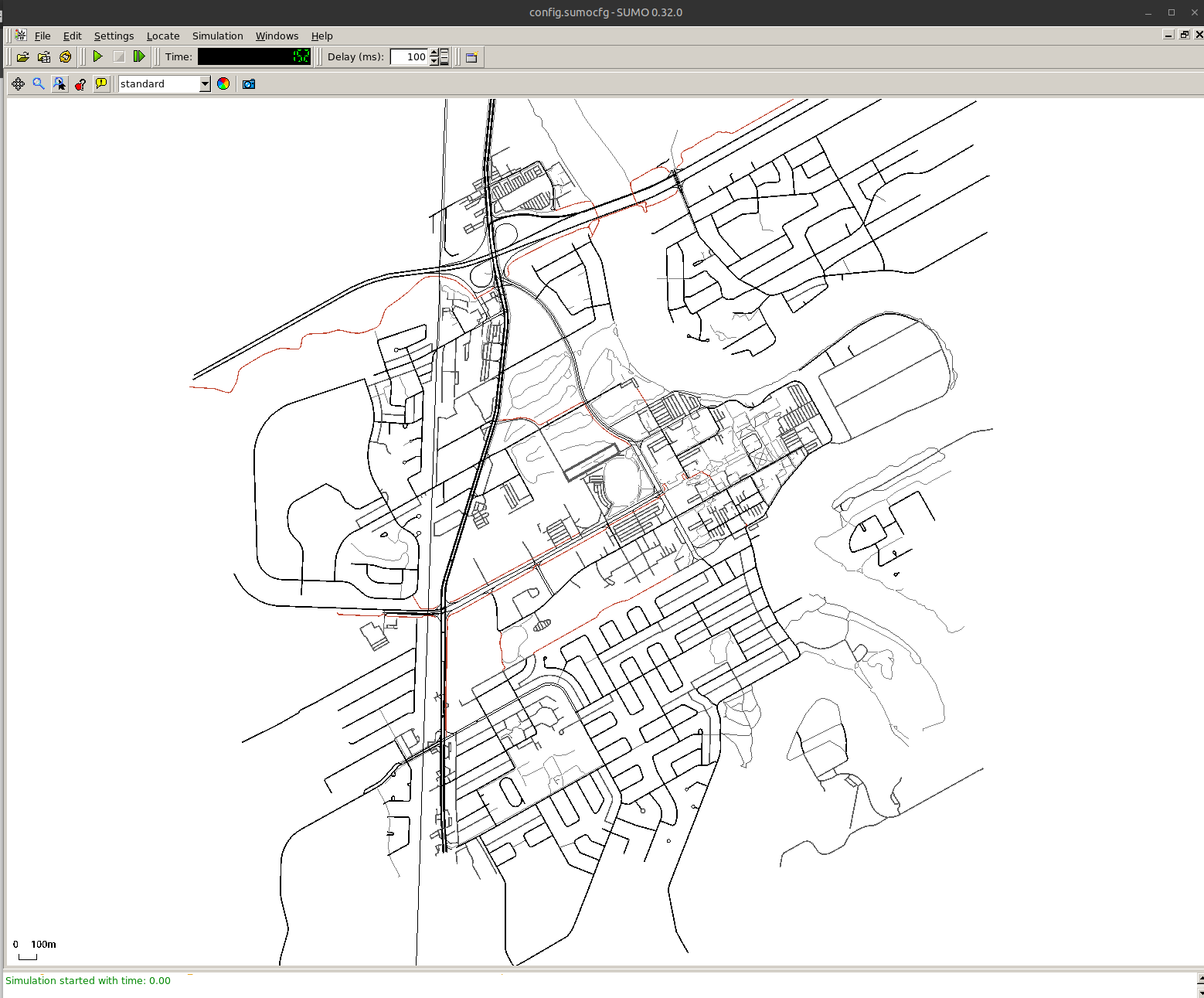
Screenshot of U of M Campus and surrounding area in SUMO.
I also found a Python script that comes included with the installation of SUMO that generates random routes based on the topology of your network. This seemed to work well. Many things to experiment with. Now that I have confirmed my ability to integrate OpenStreetMap data into SUMO, I will likely go back and start with a simple network and learn some more of the base features of SUMO. This should be easier with a less complicated network.
I created a repo to store my SUMO files which can be found here.
Thank You For Reading

Andrew Vaillancourt